To Measure NYC’s Heat Islands, Scientists Recruit Residents in Hardest-Hit Neighborhoods
City Limits
By: Liz Donovan
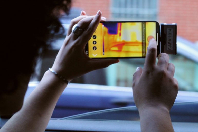
On a scorching Sunday afternoon in late July, Rev. DeForest Raphael wedged a mallet-like transponder in the passenger window of his car so it stood upright on his roof, and went for a slow drive through the South Bronx. When he passed a group of kids playing in a fire hydrant, a thought occurred to him: “That was the only thing between them and the heat,” he said.
Raphael was conducting research that afternoon—and again later than evening—for an ongoing national heat-mapping project, funded by the National Oceanic and Atmospheric Administration (NOAA). The multi-year study of about three dozen cities, including New York, seeks to document urban “heat islands” with a hyperlocal, boot-leather data-collecting process that involves members of communities disproportionately affected by intense urban heat.
Urban heat islands occur when dark, hard surfaces—like asphalt, roads and buildings—absorb the sun’s radiation and release it slowly. Other factors, like tall buildings and a high population density, can make it harder for that trapped heat to escape, creating an oven-like effect. The result is that the city is, on average, hotter than surrounding, less densely-populated areas.