NYC Mapping Project Shows How Heat Exposure Impacts Lower Income Neighborhoods
Eco Watch
By: Olivia Rosane
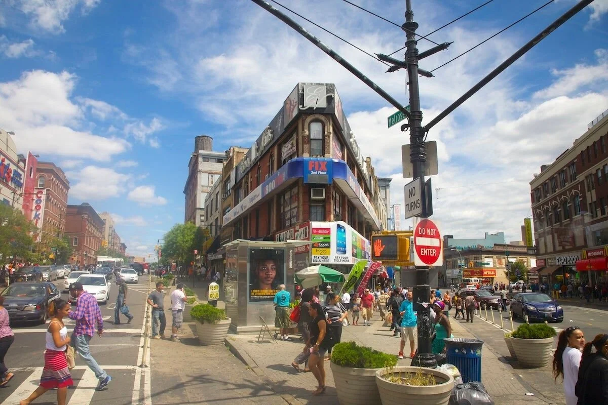
New York City’s South Bronx is eight degrees Fahrenheit hotter than its Upper East and West sides, two of its wealthiest neighborhoods that sit on either side of Central Park.
That stark reminder of the relationship between income inequality and exposure to high heat is the result of the first-ever street-by-street analysis of temperature in New York City, conducted with the help of citizen scientists who actually have to live with the data they recorded.
“The variation in temperature is stark,” lead investigator Liv Yoon told The Guardian. “The built environment really matters on how heat manifests and what people feel.”