How Citizen Scientists are Mapping the Hottest Parts of New York City
Gothamist
By: Jaclyn Jeffrey-Wilensky
The forecast called for sunny skies and highs in the low 80s—mild weather by New York City summer standards. The shaded paths of Sakura Park in Manhattan’s Morningside Heights neighborhood were breezy and cool. But on the same block, the midday sun beat down on an exposed stretch of Riverside Drive, and heat radiated off the asphalt.
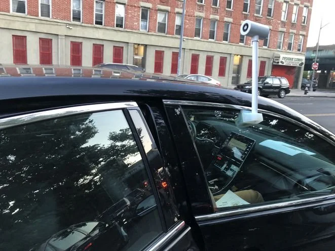
That exact phenomenon is what brought NASA remote sensing specialist Dr. Christian Braneon to the park on this midsummer day in late July, where he met with about two dozen New Yorkers who had volunteered to canvass neighborhoods in Manhattan and the Bronx by car, clocking temperatures as they went.
“We're really feeling the urban heat island right now,” Braneon said as he dragged the signup table into the shade.
This day of temperature mapping was part of…
