Familiar Ways
Planet A Magazine
By: Asta Kongsted
The plan included several nicely designed, elevated promenades in Manhattan—in Lower Manhattan, on the Upper East Side, and in parts of Harlem. But for the area in the South Bronx susceptible to flooding from the Harlem River, the engineers proposed a floodwall running along the Mott Haven waterfront. It would protect the area from some flooding, but it would also close off access to the water. The South Bronx wouldn’t be the only place in New York City getting a floodwall. But it would be one of very few places getting nothing but one. Perhaps more damningly, the report also made a brief note of the fact that the storm barriers put up to protect other boroughs might increase the risk of flooding in the Bronx.
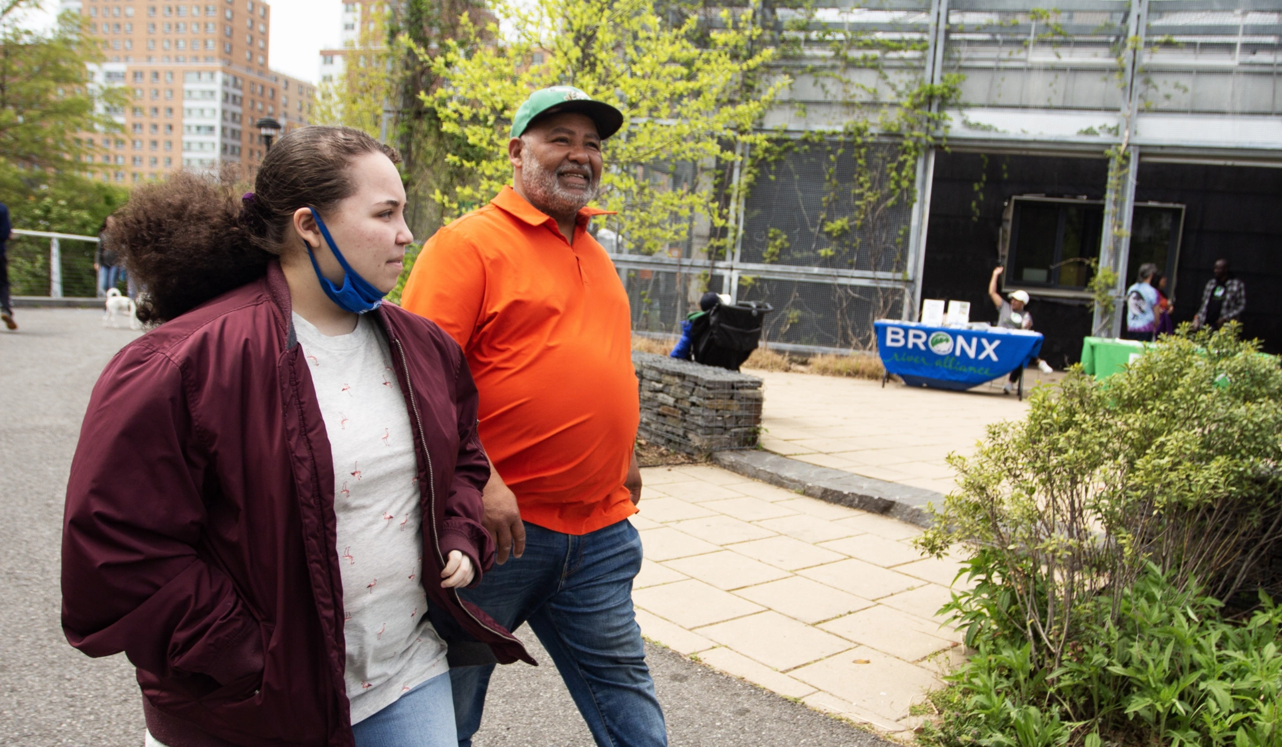
To activists from the advocacy group South Bronx Unite, the plan looked like business as usual. For years, the group had been working on a waterfront restoration project in the lower part of the South Bronx, which they said would protect the area from future storm surges while opening up the waterfront around Mott Haven and Port Morris. Their plan had been acknowledged by the state and incorporated into a 2020 NYC Parks and Recreation management plan for the Bronx, with $2.7 million being allocated to the project. For a time, it looked like it might actually be realized.
Read more